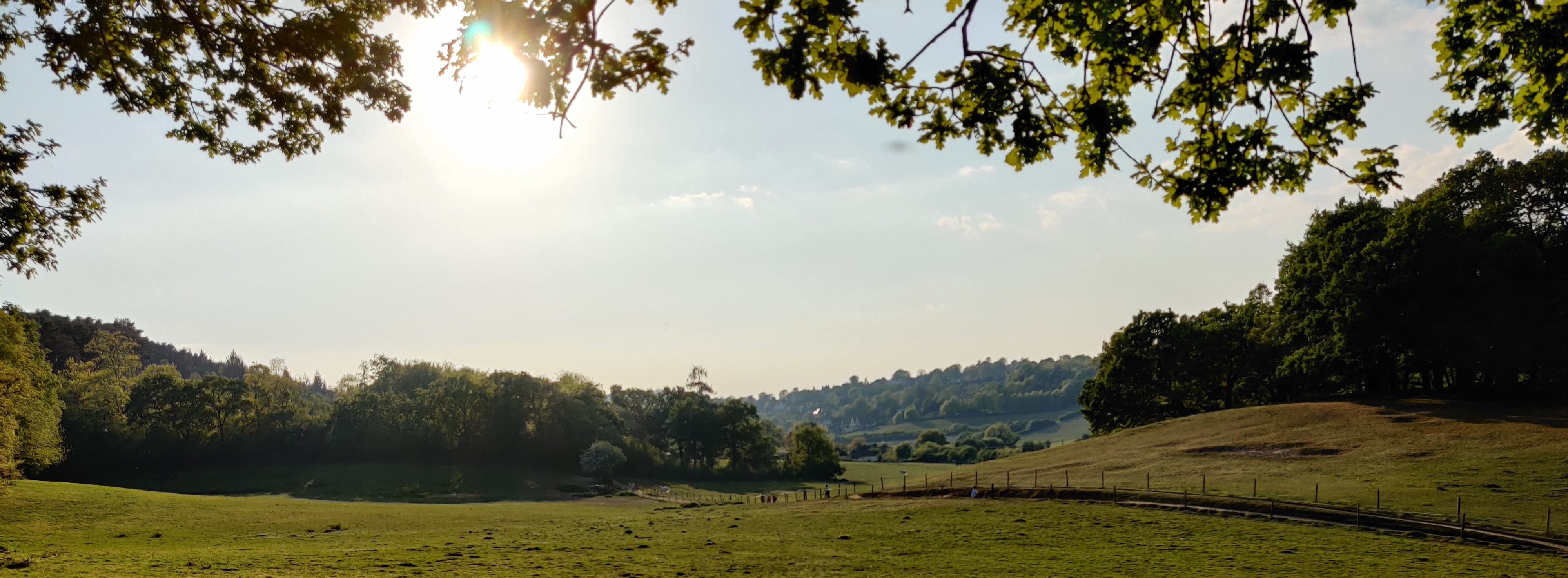
The Route


Unsplashed background img 1

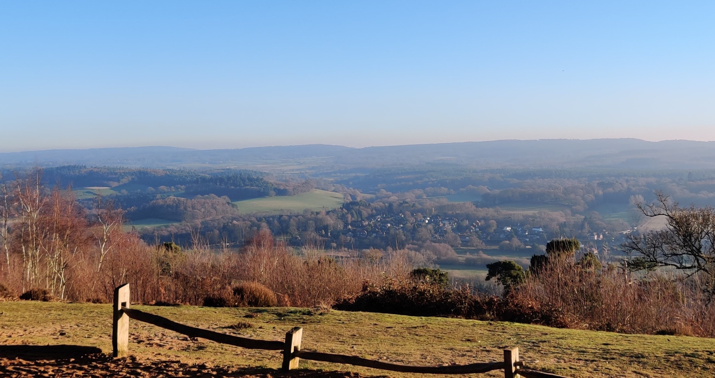
Stretching over 140km, the route is a straightforward "double" that can be completed in a day. It follows the Down's Link route from St Martha's Hill, near Guildford, to Shoreham on the South Coast. The vast majority of the route follows a disused railway trail, and is suitable for almost all bikes & riders.The Single route is half the distance and can be completed too.

Part of the challenge is completing the route yourself, and after all it's, the South of England, not the Highlands. However, in the name of fairness, some additional details are provided here. Plenty more information can be found in the links section. If you want to be featured on the records page, send the GPX of your attempt to the email: downslinkdouble@gmail.com.

  • infoAbout the Route
    • Completing the full double (St Martha's Hill->Shoreham->St Martha's Hill) is 120km long, with around 700m of elevation change. Most of this is in the very first/last kilometers, ascending St Martha's and Blackheath.
    • The vast majority of this route is offroad, following the disused Cranleigh line. The surface here is firm gravel, with a tendency to get puddly in winter. In summer, you could probably get away with a road bike on 28c tyres, and in winter a 29er hardtail mtb would be best. Year-round however, you'll be fastest on a gravel bike.
    • The very first/last section that drops off of St Martha's Hill is very steep and needs a lot of consideration before riding. The gradient tops out at around 20%, and the track is narrow with numerous large rocks, drops, roots and bits of old pipe, so should not be taken lightly. This part is the only section not suited for gravel bikes, however only lasts around 250m.
    • Most of the route is on bridlepaths, with the odd bit of road too - so the usual rules apply: don't be a dick, and give way to other users of the path. - The final stretch of the path to St Martha's is a footpath, so the Down's Link starts and ends at the WW2 Pillbox about halfway down the East side. There's a Way Marker to signify the start, you can't miss it!
    • There's parking on the East side of St Martha's, postcode GU5 9BQ. It's around 300m from this parking to the start, up the hill. Additional parking is available on the west side of the hill, and again at Shoreham if you're planning on completing a single.
    • Check out the Records page for information on submitting an attempt.
  • gps_fixedStart/end points
    • The start/endpoint is at TQ 03224 48366. This is not the summit of St Martha's but about halfway down the east side, by the pillbox. There's a very obvious waypoint marker to signify the start of the route.
    • The midpoint is at TQ 21155 05198, after the railway bridge and where the path joins onto the minor road "Broad Reach"
    • For an attempt to count as a full "double", you must start at the start, get to the midpoint then finish back at the start. Simples. Check out the Single route page for info on completing a single run.
  • location_onRoute files
    • The route is mapped out on Komoot below - giving mapping details, turn-by-turn navigation & device downloads.
    • Download the GPX file for the route here.
  • restaurantAlong the route
    • Along the route, there's numerous towns & small villages you will pass through - a subset are included here:
      • Bramley Cafe
      • Cranleigh - plenty of cafe's and supermarkets
      • Southwater - small bike shop, numerous cafes and more
      • Carat's Cafe in Shoreham
    • The route is never far from a decent road - so if you need to leave the route at any point you can be picked up. Trains are regular from Brighton & Guildford too.
  • linkUseful Links
Unsplashed background img 3